
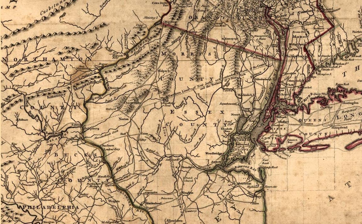
Nearly 240 years later, the census continues to help tell the story of America, including the transformation of Morris County from the boundaries defining five towns in 1787 to 39 communities today.
In recognition of Constitution Day, the Morris County Office of Planning and Preservation has launched an interactive online ArcGIS StoryMap®, “Morris County & the Census,” tracing nearly a quarter millennium of population growth and community development from the county's first U.S. Census count in 1790 to the present day. The Constitution requires an enumeration every 10 years to determine the apportionment of seats in the U.S. House of Representatives.
“The census is one of the few ways we can look across generations and see how communities have changed. The information collected every 10 years helps shape decisions that affect transportation, education, health care, emergency services and countless other public investments that benefit our residents,” said Commissioner Director Stephen Shaw. “This StoryMap brings that history together in a way that makes the data more accessible and helps demonstrate why the census remains important today.”
The StoryMap combines historical narratives, population data, interactive maps, photographs and other information to show how Morris County has evolved. Visitors can move through each census decade to see how the county's population and municipal boundaries changed while major national and local events unfolded.
Morris County was created in 1738 by an act of the state legislature that divided the larger Hunterdon County. By 1790, Morris County had a population of 16,216, with multiple villages and settlements encompassed within five recognized municipalities: Hanover Township, Morris Township, Pequannock Township, Roxbury and Mendham Township.
The county's population grew gradually through the 19th and early 20th centuries before accelerating after World War II. It reached 164,371 in 1950 and more than doubled over the next three decades to 407,630 in 1980. The 2020 Decennial Census recorded 509,285 residents, while the U.S. Census Population Estimates Program estimated the county's 2025 population at 524,251.
By 1960, all 39 of Morris County's current municipalities had been established. The StoryMap's interactive maps allow visitors to explore individual communities and see how the county's geography changed as those municipalities were created.
The resource also examines the county's separation from Hunterdon County, its role as the “Military Capital of the American Revolution,” the origins and symbolism of its Coat of Arms and motto, and the evolution of census questions. Today, census data help determine congressional apportionment and political district boundaries, federal funding distribution, planning, emergency response and other federal surveys.